
The Monksfield Solar Farm (aka Chapel Hill Solar Farm) gallery provides a single repository of images used on the PPLAN website.
We have linked to these images from various places in the website – here the images are provided with associated description of their significance.
CLICK ANY IMAGE TO SEE THE FULL PHOTO
Landscape Images
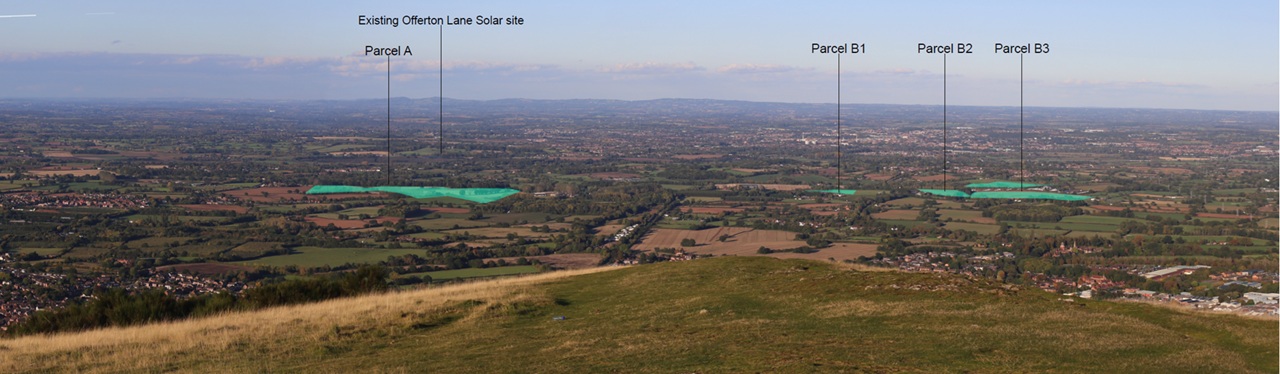
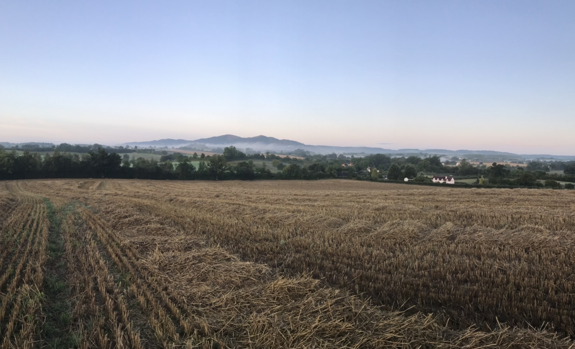
Solar Farm from the Malvern Hills
Location of this industrial scale development from the Malvern Hills (North Hill viewpoint)
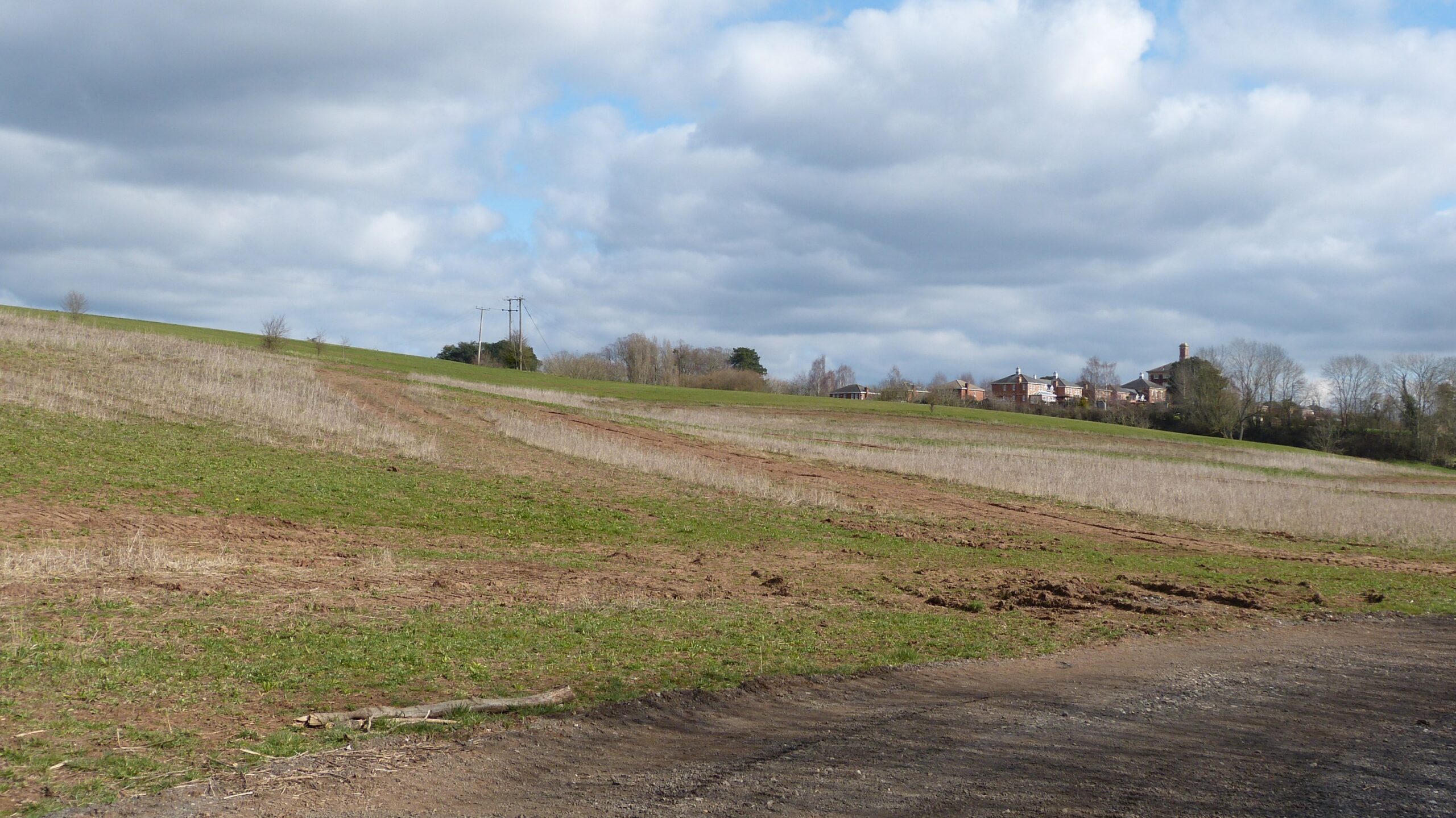
Undulating landscape on Ridgeway Farm
According to planning policy, solar farms should be located on flat land. This land is not flat!
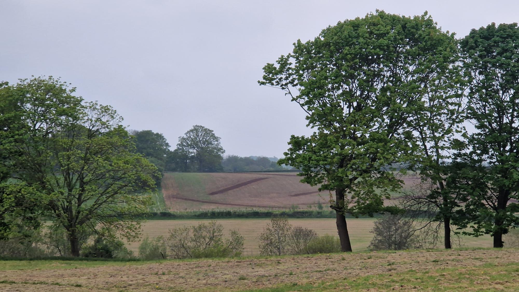
Careys Brook Valley
Part of the solar farm would be on a 1 in 6 gradient slope extending to 150 feet above sea level
Glint and Glare at RWE’s Doverdale Solar Farm
Low flying aircraft, residents and people at local viewpoints will see this when the sun sets. Similarly for people looking at sunrise from the Malvern Hills
Biodiversity and Agriculture Images
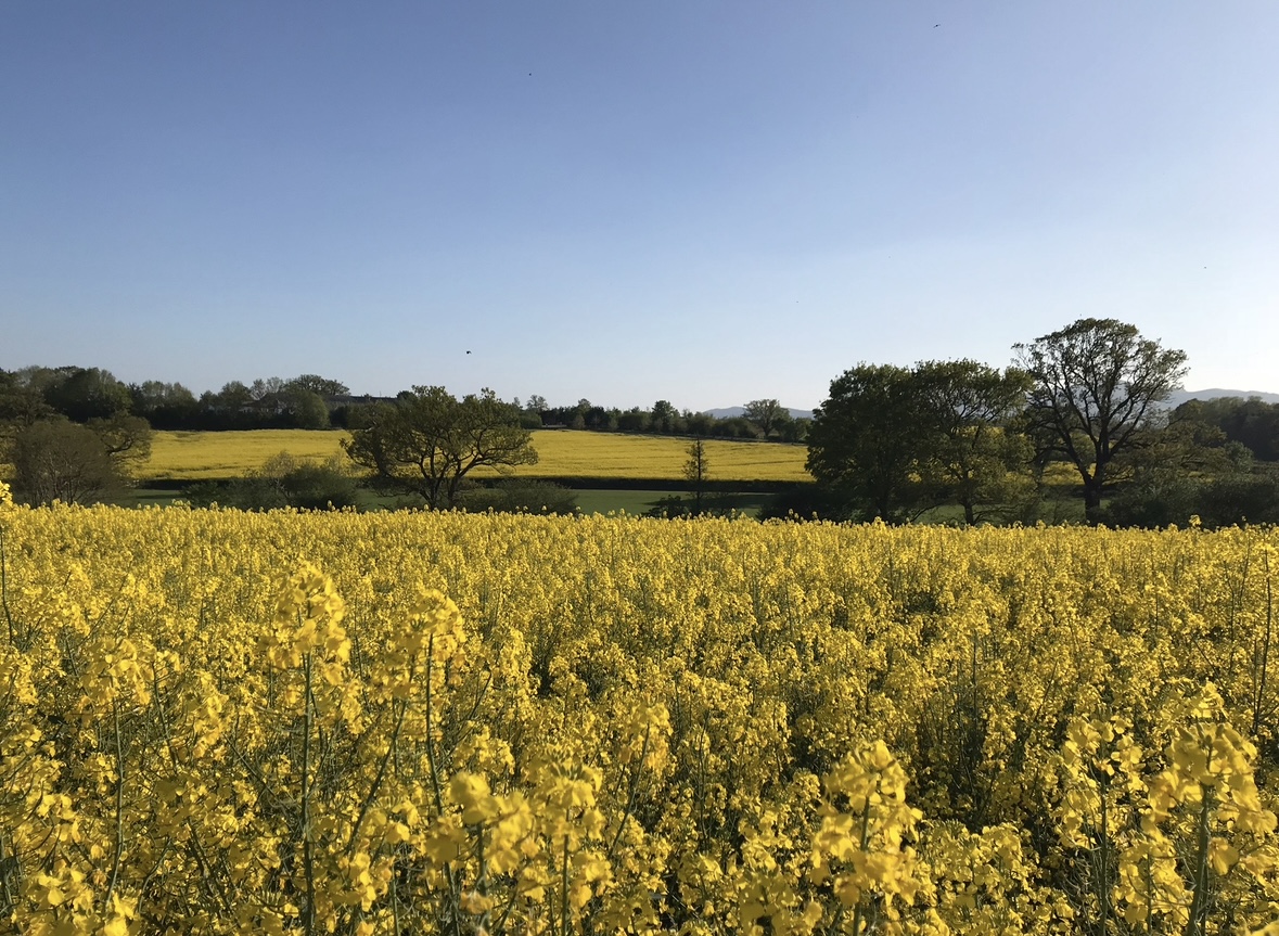
Rapeseed on Ridgeway Farm
The RWE-commissioned report says the land is 3b (moderate quality). Well this looks like a healthy crop of rapeseed to us!
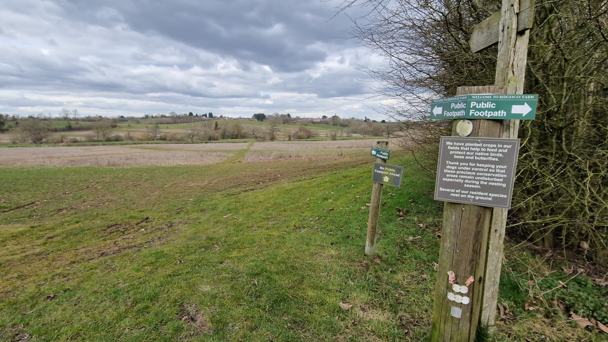
Resident birds, bees and butterflies on Ridgeway Farm
RWE’s Biodiversity assessment does not appear to take into account the impact on the existing wildlife sanctuary evidenced by the landowner’s own signs!
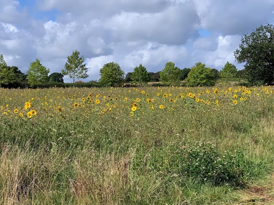
sunflower meadow
According to RWE, its grassland under solar panels will be better than most of the existing grassland. This existing meadow looks like a good wildlife habitat already to us!
Crops on Hawthorn Lane Field
It may be moderate quality, but this land seems to crop well! All this would be lost if this solar complex is developed.
Heritage Images
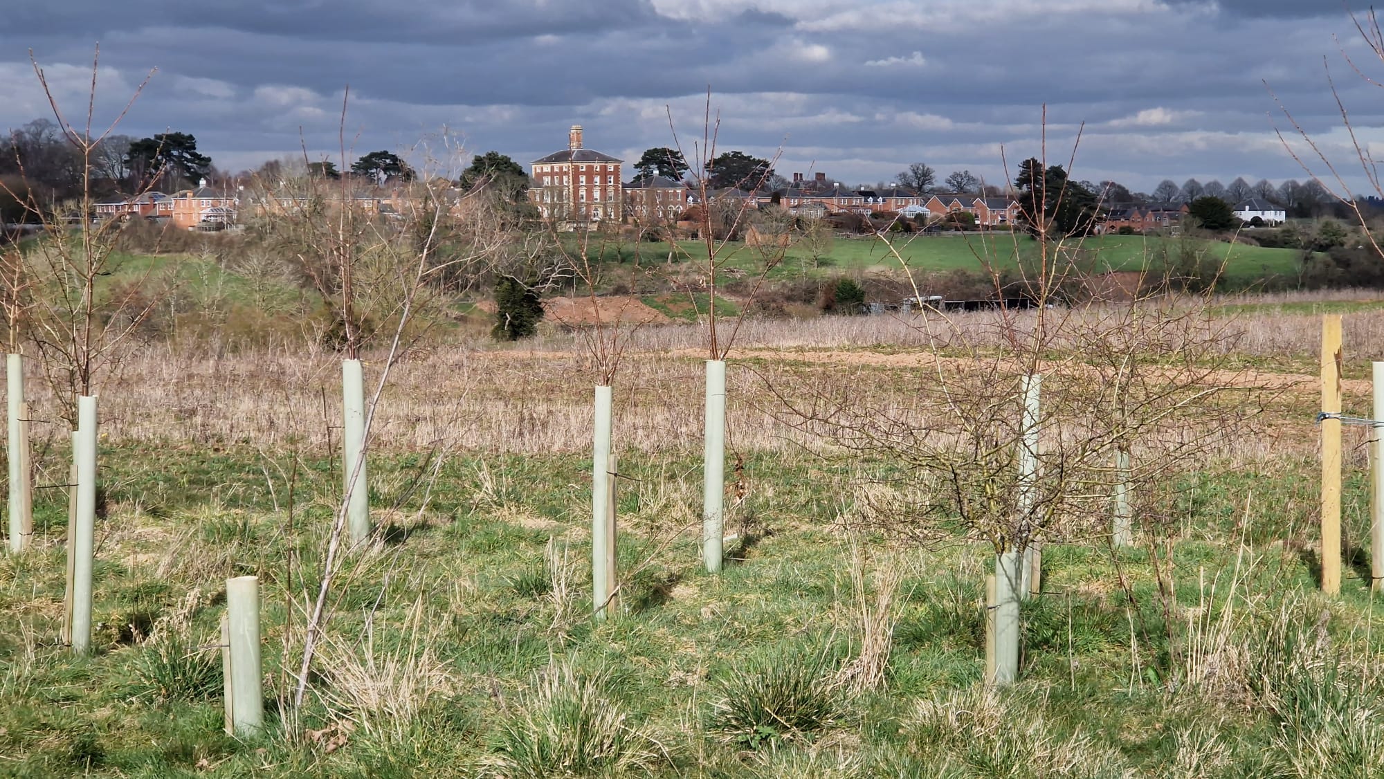
Damaging heritage setting
The Administration Block of Powick Hospital is a listed building, with its setting protected by covenants on surrounding property. Placing solar panels in adjacent fields goes against this principle.
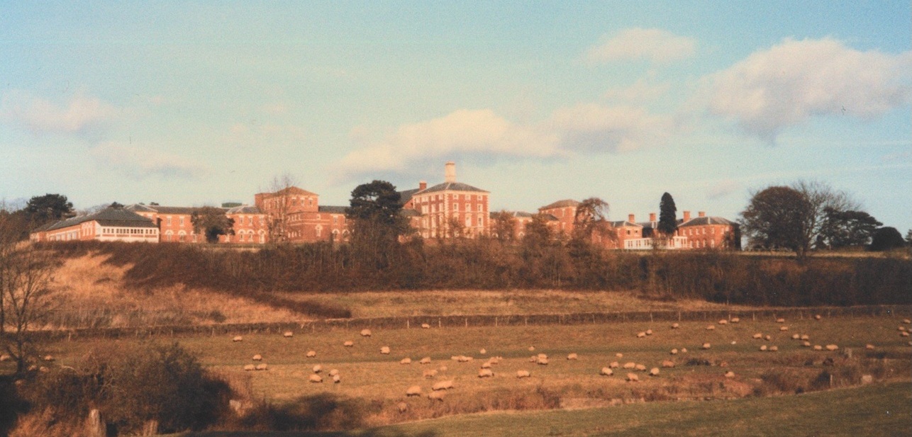
Old view of Powick Hospital
This is the original setting of Powick Hospital with productive agricultural land
Fire Safety Images
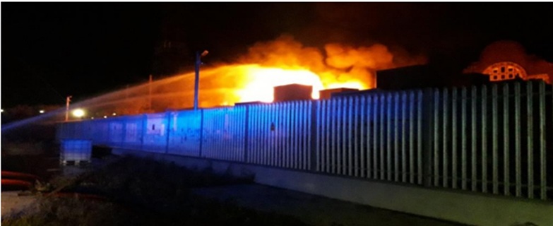
BESS Fire – Carnegie Road, Merseyside – 2020
THis was the UK’s first Battery Energy Storage System Fire – there have been 3 in the first 3 months of 2025 alone!
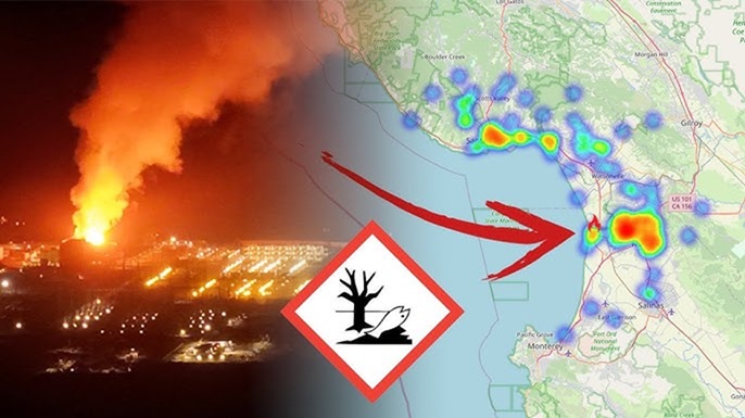
BESS Fire – Melbourne
Thermal runaway in Battery Energy Storage Systems can lead to toxic vapour clouds as this one in Melbourne did.
Construction Images
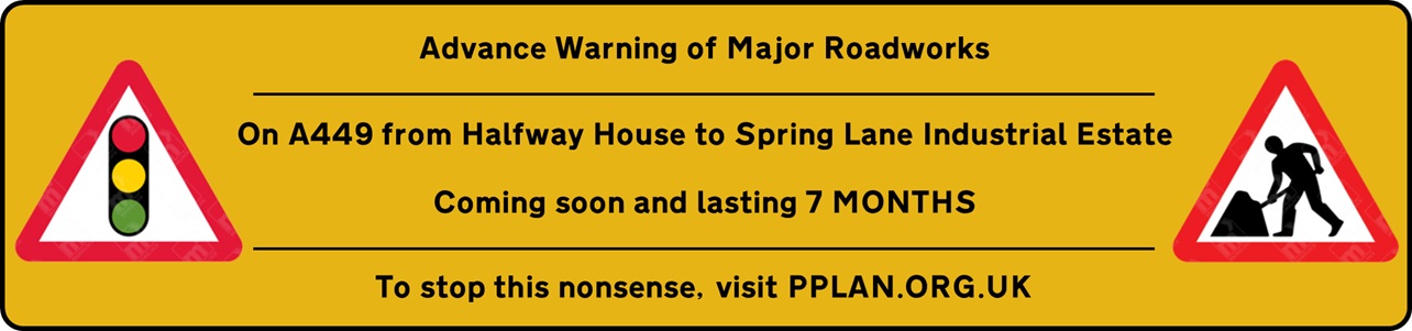
Minimum of 7 months of Roadworks
Laying a cable from Bastonford to Spring Lane Industrial Estate along the A449 will take 7 months
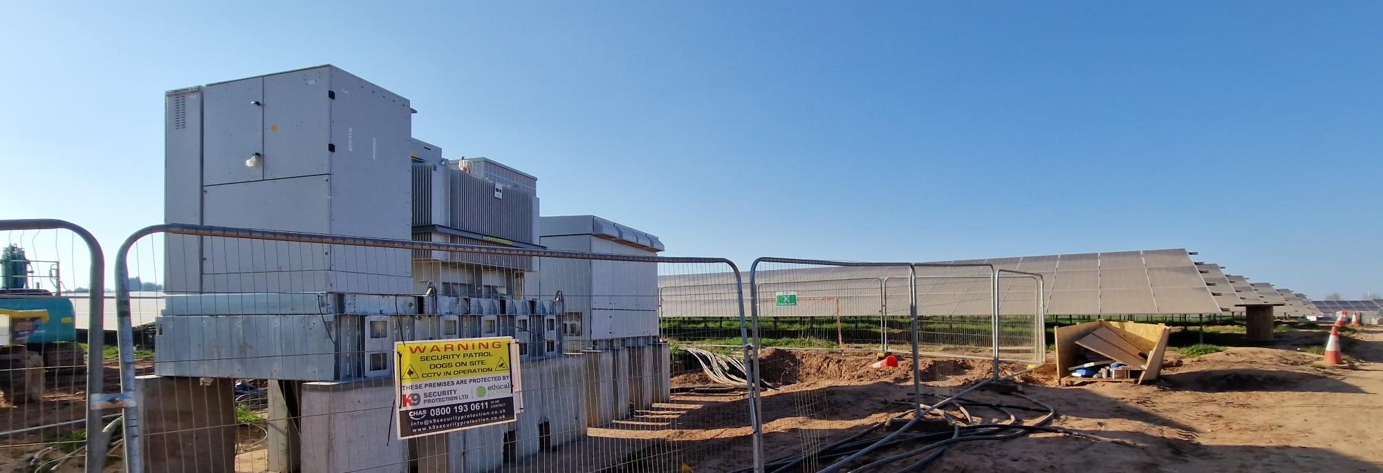
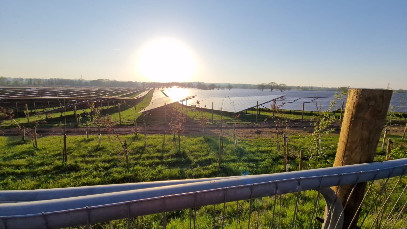
Construction at RWE site
Construction at Doverdale Solar Farm
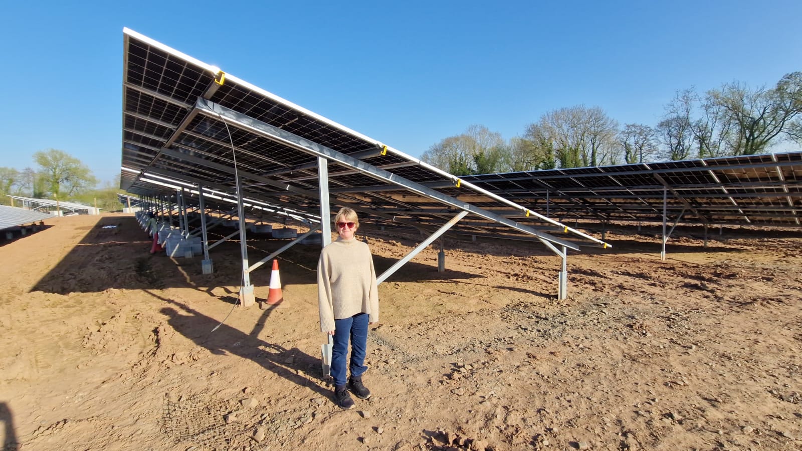
RWE Solar Panel at it Doverdale Site
How are we meant to see above these to the Malvern Hills?